AgentMaps
Make social simulations on interactive maps with Javascript! Agent-based modeling for the web.
AgentMaps - Social Simulations on Interactive Maps
AgentMaps is a Javascript library for building and visualizing dynamic social systems on maps. It is based on the Leaflet interactive mapping library. Given a neighborhood, AgentMaps lets you quickly and easily:
- Build units along the streets.
- Spawn agents onto the map.
- Schedule them to move between places on the map.
- Change their appearance and properties.
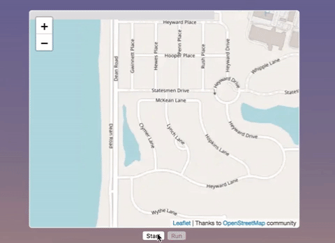
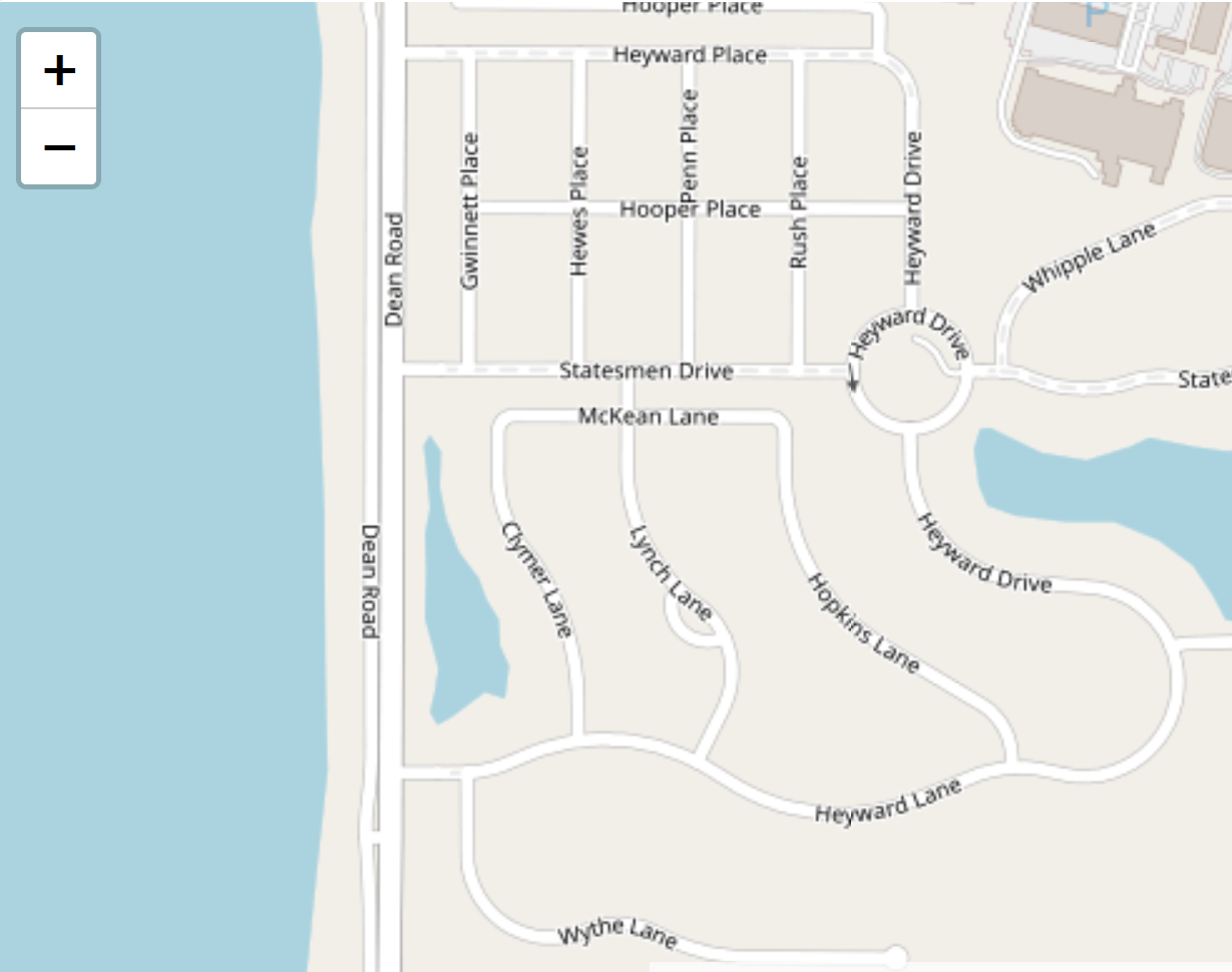
AgentMaps lets you turn this:
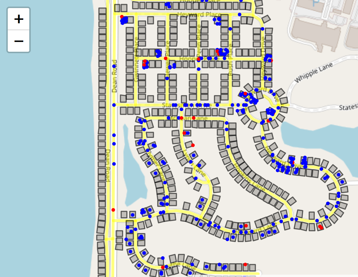
into something like this:
You can install it via npm (npm install agentmaps) and bundle it yourself, or you can get a premade bundle here to include directly in a webpage.
You’ll need to include Leaflet separately.
Documentation
Docs for people who want to use AgentMaps are available here.
Docs for people who want to understand its internals are here.
A basic walkthrough for creating an AgentMaps simulation can be found here.
Demos
Simple: Shows all the different ways agents can travel around a map.
Basic Contagion: Agents commute between different parts of a neighborhood while an infection spreads between them.
You can find the corresponding code under /demos in the gh-pages branch here.
Plugins
IconAgents: Lets you depict agents with custom icons instead of circles.
Thank you to anyone who somehow benefits from this.
AgentMaps: Geospatial Agent-based Modeling and Simulation for JavaScript.